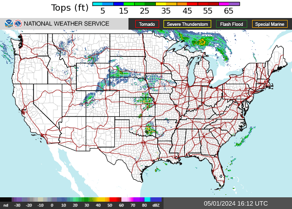
US Radar Image (echo tops) - Radar
Maps brought to you by Turbulence Forecast. Worried about turbulence? Get a personalized forecast by email for your flight. You can choose to get a personalized briefing of turbulence written by an experienced forecaster, or order a custom AI generated map of your flight.